Choosing Your Alpine Trek: 12 Hours vs. Leisurely Stroll
"I stood at the trailhead in Lauterbrunnen, looking up at the sheer granite walls, wondering if my legs would survive the descent after twelve hours of climbing."
Choosing between a leisurely stroll through wildflower meadows and a grueling scramble over glacial moraines is the fundamental tension of any Alpine vacation.
If you pick a trek that is too difficult, you risk injury or exhaustion; if you pick one too easy, you might feel you wasted a precious, expensive day in the mountains.
Key Takeaways
* Difficulty vs. Duration: A "moderate" hike in the Swiss Alps often involves much higher vertical gain than a similar label in lower foothills, requiring careful pacing. * Altitude is the Variable: Physical fitness is only half the battle; oxygen levels at 3,000 meters change the math on how long a trail actually takes. * Infrastructure vs. Wilderness: Match your goal—high-tech accessibility (Switzerland) vs. rugged, remote exploration (French/Italian massifs)—to your specific fitness and budget.
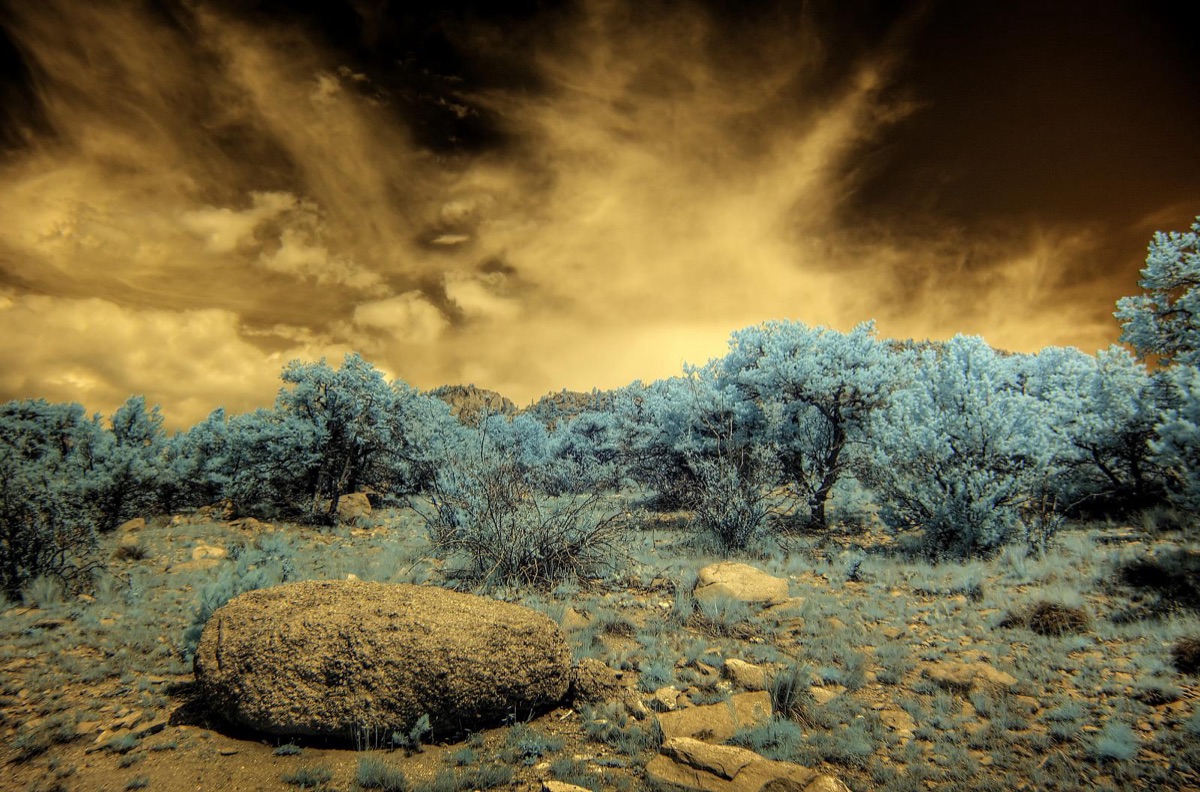
Which Alps region fits my fitness level? The sun hit the jagged peaks of the Eiger as I adjusted my backpack, realizing that the sheer scale of the Swiss landscape makes every trail feel more significant than a standard forest hike.
In the Alps, the terrain is not just a backdrop; it is a vertical obstacle course that dictates your itinerary.
The Swiss Alps are uniquely characterized by their density and accessibility. While Switzerland covers only 14% of the total 192,753 square kilometers of the Alps, it hosts 48 out of the 82 alpine four-thousanders, with nearly all remaining high peaks located within 20 kilometers of the border.
This makes it a playground of high-altitude density. Because of the incredible mountain railway infrastructure, you can often access high-altitude starting points, allowing for "moderate" hikes that begin at 2,500 meters.
In contrast, the French and Italian Alps, particularly around the Mont Blanc massif, often demand more raw physical exertion. While Switzerland offers high-tech access to high peaks, the French side often requires more significant approach hikes to reach the base of the glaciers.
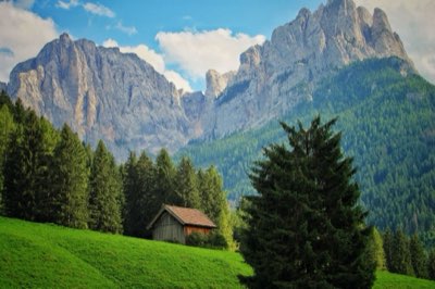
The Italian Dolomites offer a different kind of challenge: technical, rocky, and famous for their unique verticality, which makes for stunning photography but requires stable footing and high knee strength for the constant ascents and descents.
Austria, particularly the regions around Innsbruck and the Salzkammergut, tends to offer a blend of rolling alpine pastures and sharp peaks. It is often more conducive to those looking for a mix of cultural immersion—like visiting mountain huts for traditional cheese—and moderate hiking.
When selecting a region, decide if you want to conquer peaks via cable car and well-maintained paths or if you want to earn every meter of elevation through rugged, winding trails.
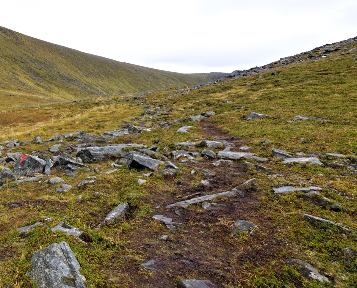
How do hike difficulty and time relate? At dusk in the thin mountain air, I wiped sweat from my brow while staring at the winding trail that stretched toward the horizon.
I remember looking at a trail map in Zermatt and seeing a route marked as "moderate" that looked like a straight vertical line on the paper. It took me three hours just to reach the first plateau, a reality that no two-dimensional map can fully capture.
In the Alps, "difficulty" is a multi-dimensional metric. It is not just about how many kilometers you walk, but about elevation gain, loss, and technicality. A 10-kilometer hike with 1,200 meters of vertical gain is a completely different beast than a 20-kilometer flat walk.
You must also consider "exposure"—the presence of steep drops where a slip could be fatal. A trail might be physically easy but mentally exhausting due to narrow ridges or rocky scrambles.
Time commitment is heavily influenced by these factors. A "day hike" in the high Alps can easily stretch from four hours to ten hours depending on the weather and your pace. When planning, you must account for:
- The Ascent/Descent Ratio: Climbing is slow; descending can be fast but is incredibly taxing on the joints.
- Altitude Acclimatization: If you are starting a trek at 2,500 meters, your body will use more energy just to breathe. A trek that takes four hours at sea level might take six hours at high altitude.
- The "Turnaround Time": Always plan to be heading back toward your hut or station by mid-afternoon to avoid being caught in high-altitude storms.
| Hike Type | Typical Elevation Gain | Typical Duration | Best For |
|---|---|---|---|
| Easy/Leisurely | 200m - 500m | 1–3 Hours | Families, photography, casual strolling |
| Moderate | 500m - 1,000m | 4–6 Hours | Fit travelers, scenic viewpoint seekers |
| Difficult/Strenuous | 1,000m+ | 7–10+ Hours | Experienced hikers, peak baggers |
Beyond the Trailhead: What to factor in
The sound of a distant cowbell echoed through the valley as I sat on a wooden bench, looking at my budget for the week. Beyond the physical act of walking, there are logistical realities that can make or break an Alpine journey.
Access and transit play a massive role in how you experience the mountains. In Switzerland, the ability to take a mountain railway to a high-altitude station allows you to skip the grueling ascent and focus on high-altitude hiking.
This makes high-altitude scenery accessible to those who might not be able to climb 1,500 meters in a single day. However, this convenience comes with a price tag.
Environmental factors are also a constant variable. The Swiss Alps contain glaciers that cover 1,220 square kilometers, representing 44% of the total glaciated area in the Alps. While these glaciers provide breathtaking views, they also mean the terrain can be unpredictable.
Glacial melt and changing weather patterns can turn a stable path into a muddy or slippery trek in a matter of hours.
Finally, consider the cost. Switzerland is famously expensive, and many high-altitude trails are accessed via costly cable cars or mountain trains.
If your budget is tight, you might find yourself choosing lower-altitude, more accessible trails, which might not offer the "high-alpine" experience you dreamed of. Always weigh the cost of transport against the reward of the view.
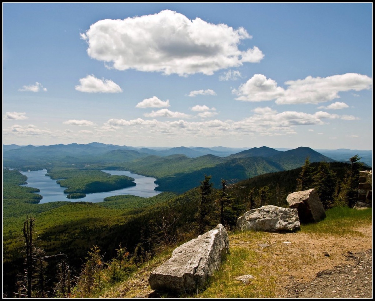
Planning Your Perfect Alpine Journey
I sat in a small café in Interlaken, spreading out my maps and marking circles around various peaks, trying to balance my desire for adventure with my need for sleep. Successful planning requires aligning your personal goals with the reality of the terrain.
According to World Bank data, Switzerland recorded international tourist arrivals of 11,818,000 in 2019.
Your first step is goal alignment. Are you looking for "the view" or "the challenge"? If your goal is purely visual, a high-altitude station like Jungfraujoch or Gornergrat might be your best bet, providing world-class scenery with minimal physical strain.
If your goal is a physical achievement, look for hut-to-hut treks where the reward is the sense of accomplishment and the quiet of the high mountains.
Duration planning is equally critical. A 7-day trip allows for a few "big" days of hiking, but you must include rest days. If you attempt a strenuous trek every single day, you will likely burn out or sustain an injury by day four. A well-planned itinerary might look like this:
- Acclimatization Phase: 1–2 days of light, low-altitude walking to let your body adjust.
- The Peak Challenge: 2–3 days of more strenuous, high-elevation hiking.
- Recovery Phase: 1–2 days of leisurely exploration or transit-heavy sightseeing.
Safety is non-negotiable. High-altitude weather can change in minutes. Always check local weather reports, carry waterproof layers, and ensure you have sturdy, broken-in hiking boots.
Never attempt a difficult trek without checking the current status of the trail, as seasonal changes can close certain routes entirely.
Comments 0